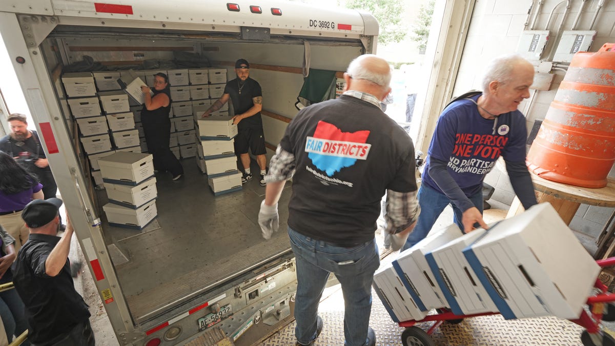
Fed up with politicians manipulating maps to ensure reelection, a crowd of Ohio voters took a key step toward offering a redistricting alternative on the November ballot.
I feel like a big part of how districts are drawn should involve asking the people which areas are important to them.
It would definitely have to involve some algorithms to sort out and keep the populations roughly equal.
But in general, I kind of envision a system where maybe every 5 or 10 years or so you’d sit down in front of a computer, maybe on election day, or when you renew your driver’s license, or something like that, and you’re presented with a map of your county and the ones that surround it. You select all of the places you live, work, shop, drive through regularly, or otherwise spend most of your time or have particular interests in or concerns about
The computer then draws a district around as many of those points as possible, keeping the population fas even as possible even, and snapping the borders to obvious places- city and county borders, rivers, school districts, major roads, etc.
Then it averages them together into maps that more accurately reflect where the people in those districts actually spend their time.
Pretty big undertaking on the software side, we’d run into the same kinds of issues we do with voting of how to get people to actually show up and fill in their maps, but if we could implement it, to me that seems like the best way to actually draw districts that make sense.
Because I know when I look at the district map where I live, I see a lot of areas included that I have absolutely no connection with, I don’t live there, work there, drive through there, go shopping there, know anyone who lives there, and in general if they burned to the ground today I probably wouldn’t notice for a year or longer, and then there’s other areas where I do spend a lot of time and have other connections to that are not part of my district.