

USGS Kilauea Update: https://www.usgs.gov/volcanoes/kilauea/science/past-week-monitoring-data-kilauea#overview
USGS Monitoring data: https://www.usgs.gov/volcanoes/kilauea/volcano-updates
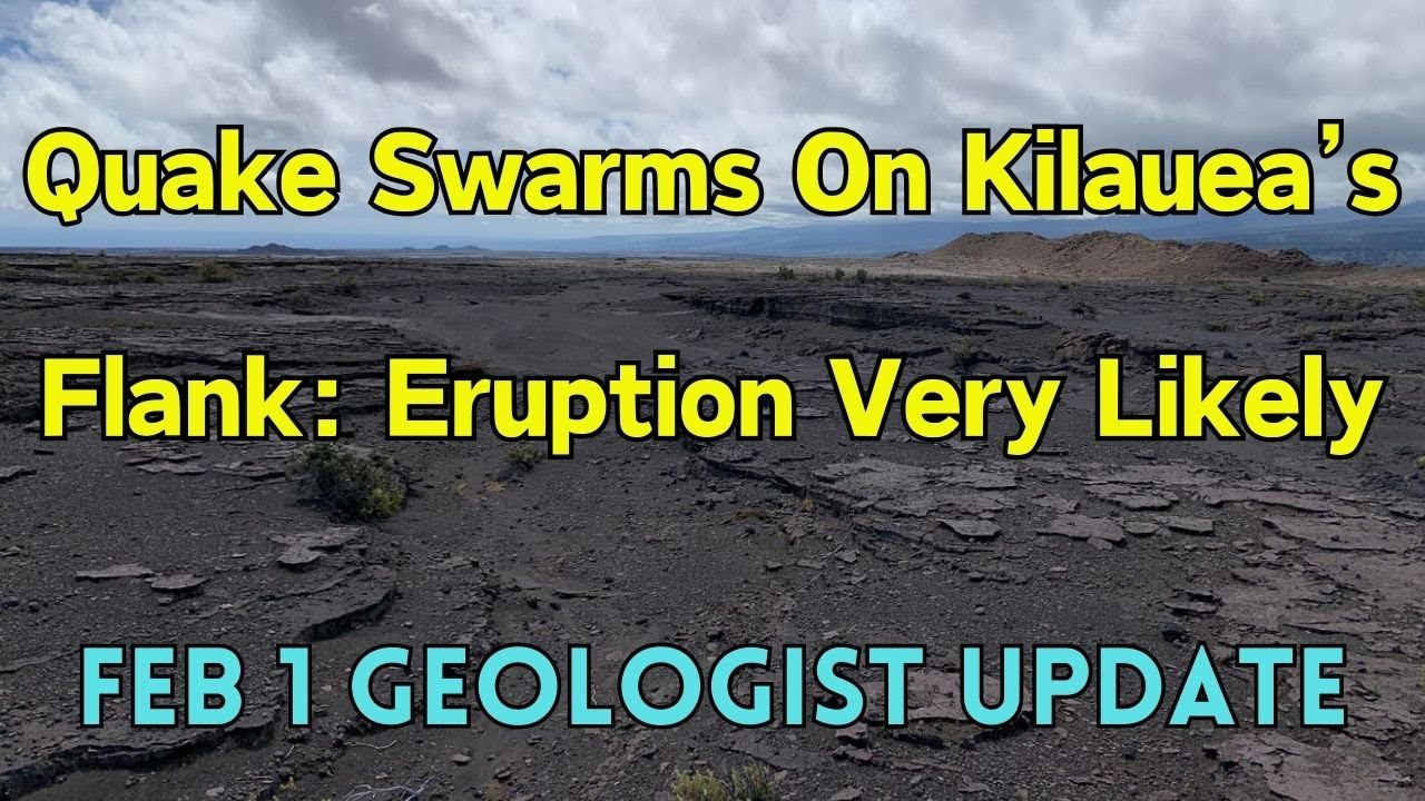
Summary (Timestamps)
(00:00) - Introduction to the update on geologic activity at Kilauea volcano in Hawaii
(00:11) - Background information on monitoring Kilauea and interest in recent uptick in activity
(01:09) - Increase in seismicity shifting to the Southwest, clustered around the Kaa fault system
(01:44) - Possibility of an eruption occurring with little warning due to escalating unrest
(02:07) - Seismicity concentrated in the Southwest Caldera region, shallow depths of 1-4 kilometers
(02:30) - High level of inflation in the Summit region, indicative of magma supply
(03:01) - Visual representation of earthquake activity in the past day and past week
(05:00) - Uptick in earthquake activity in the past 24 hours
(05:25) - Seismic data showing earthquake clusters in the Southwest to Northeast region
(06:53) - Cross-section of earthquake depths, with deeper pahala quakes on the western edge
(07:01) - Increase in earthquake activity over the past week, with a peak between the 27th and 30th
(07:19) - Alert level raised due to earthquakes on January 31st
(07:29) - Upwards of 700 quakes recorded on January 31st
(07:46) - Earthquake frequency increased between January 27th and 28th
(08:07) - Seismic swarm included magnitude four earthquakes
(08:18) - Tilt measurements show downward motion during earthquake swarm
(08:56) - GPS data shows overall movement to the south over time
(09:20) - Increase in earthquake activity and magma movement led to new advisory status
(10:08) - Hawaiian Islands built on a pile of rubble from underwater eruptions
(10:57) - Kilaa volcano supported by Mount aloa, causing instability
(13:14) - Fault systems and fractures present on kilaa volcano
(14:06) - East Rift Zone deflected due to southward movement of kilaa volcano
(15:39) - The Kawai fault system is another fault system further up the slope
(15:49) - Fault systems are big cracks in the surface and can also be places where eruptions occur
(16:03) - The trend of these faults shows a parallel or slightly southwest-northeast direction
(16:24) - The 1974 eruption followed the East-West or slightly Southwest-Northeast trend of the fissures
(16:46) - Cracks and fractures on the flanks of the volcano are caused by the Southward movement into the ocean
(17:18) - The Great crack runs from close to the ocean and up parts of the Southwest Rift zone
(17:50) - The Southwest Rift Zone exists because the south side of Kila is sliding seaward
(18:23) - The Southwest Rift Zone has provided pathways for lava to erupt in the past
(19:08) - Possible scenarios for the next eruption include it being confined to Hala’umu or along the Southwest Rift Zone
(20:12) - It’s also possible for the magma to erupt parallel to the Kawai fault system or further down the Rift Zone
(21:34) - There is no threat to infrastructure or people in the eruption areas
(22:34) - An eruption in this area would be a great spectacle without the worry over people and structures