
I used a Garmin navigator for years the same way I use my car’s GPS or google maps. I input a destination and let the device sort out the route. But the Garmin Zumo XT has more capabilities that I learned to take advantage of. Most everyone knows you can download .gpx files for BDR or TET routes. The function I really love is the ability to sit in my tent and create the next day’s route on dirt, turn by turn. Then I send it to my riding buddies so we all have it.
I put together a quick reference guide for the basic functions of the Garmin Zumo XT and XT2. There are more detailed instructions available on the Gamin website or on YouTube but these should get you started.
Routing to a location.
You can simply select a point on the Zumo screen, hit route to, go, and it will work like google maps selecting the route according to your preset preferences (avoid freeways etc).
Importing .gpx files.
On an Iphone, download the .gpx to the “files” folder. Select the file and choose the “send to” button. Select the Garmin Explore app. You can also text or email .gpx files between friends.
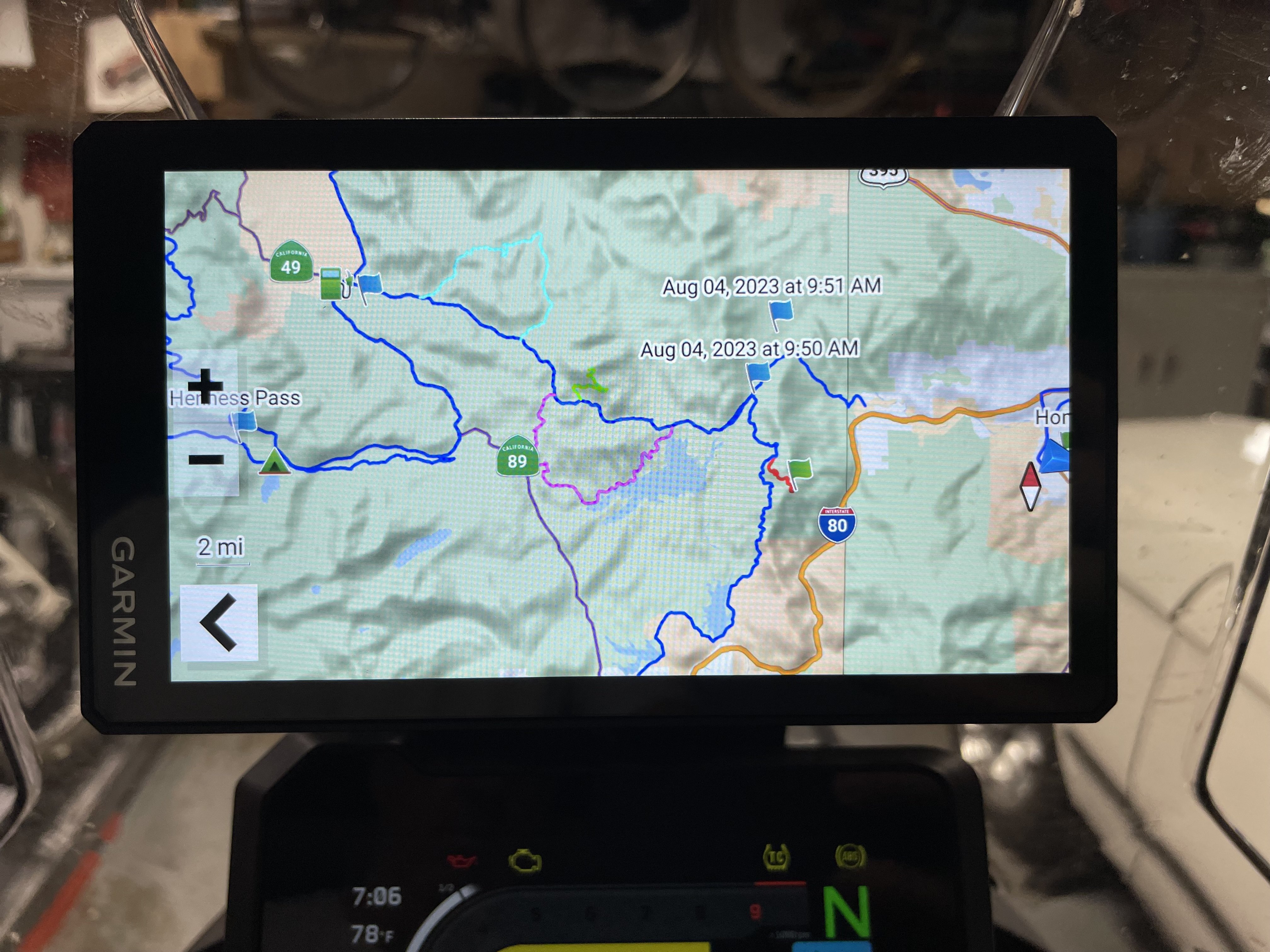
Track recorder
The track recorder is useful if you are following someone and want to ride the trail again later. Simply start the track recorder and it will run in the background. This will create a track file. Just remember to stop it at the end of the ride or the file created gets too big to save. Rename the file to something useful and you can add it to collections to keep your rides organized.
My favorite feature is the ability to plan the next day’s ride on trails or dirt roads along a specific route, turn by turn. You can create this on your phone from your couch or in your tent and it will sync and appear on your Zumo when you start your bike in the morning. This is really awesome.
Planning a ride from your phone and syncing it to your Zumo.
To create a ride on your phone:
- Download the Garmin Explore app and connect your phone via bluetooth to your Zumo.
- Create a course along a path or road: start with plus symbol (new course), then add point by point along the road/trail you want to take.
- Copy the course as Track (this will sync with Zumo)
- Rename the track to something useful, delete the original course.
- Optional - create a Collection, add Tracks to Collections for organization
- The new Track or Collection will appear on the map and in your library once you start your Zumo if you have the Explore app running on your phone and the phone is synced.
Keep in mind not all Explore app features can be synced with a Zumo.
- Routes will sync with zumo.
- Tracks will sync.
- Collections will sync.
- Courses will NOT sync.
Bonus feature:
Where to > Categories > Gas stations.
The Garmin will give you the closest gas stations and if available display gas price. Pick one and it will route you to it.
Have a correction, tip or suggestion? Please add it to the comments!
You must log in or register to comment.