
Post-drive NavCam assembled from 6 overlapping tiles.
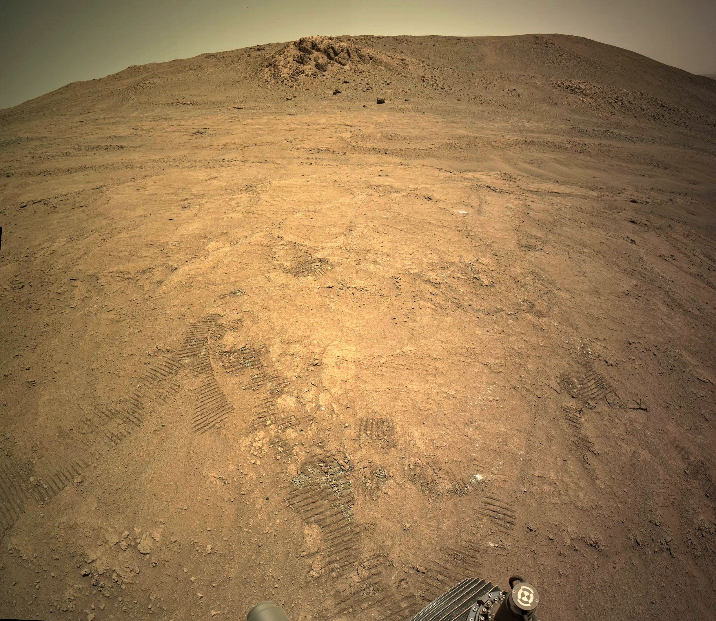
The rover is less than 10 meters from a site it first visited about 6 weeks ago (after it left the crater on sol 1359)
Credits: NASA/JPL-Caltech
Drive Data (from JPL)

For reference, we are within sight of the patch abraded on sol 1360 (abrasion patch #32), the first Percy made on this side the rim.
Being near the rim crest, #32 is the highest-elevation hole we’ve made, and will probably remain so, at least for a long while. As the highest bedrock layer on Witch Hazel Hill, it has something to say about the formation of Jezero, long before Neretva Vallis ever formed. 32 looks markedly different from the other three we’ve made on the hill, with all the well-defined brown grains on the right side and “fuzzy” whitish material in the middle. It looks quite different even from the two that are only slightly lower in elevation (famously crumbly #33 and the uniform-looking #35), only ~150 m away. It’s not entirely surprising to see the variety on display among the different patches we’ve sampled, but it is super neat to see the geologic diversity that this one hillside has to offer, considering that we haven’t even seen half of it yet!
I’m enjoying this walkabout, or should that be rove-about :)
Just a short bump to #32