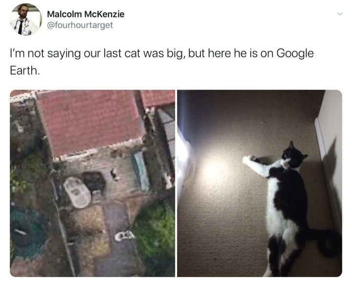
Pretty sure they just buy the imaging from other companies, not fly their own planes. But it seems hard to confirm this. Google Earth refers to “the image provider”, which implies Google didn’t fly the planes themselves, but just bought aerial imagery which is already collected and used in other industries.
You can generally get a feel for if it’s satellite or plane images. You generally aren’t making out a cat on a deck for a satellite photo, it’s more like a blurry house and that’s all you can make out. Satellites are gonna be 100x further away when they take a photo.
If you check at the bottom of the screen, you normally see the sources of the map data and imagery