

note: i did NOT create the ASCII art. I’m not good enough to do that. I found on various ascii art archives as well as those image to ascii art converters for the continents I couldn’t find.
countryguess was a project I made recently because I wanted to make a quiz that could be customised as you see fit. Also, I had no clue how to make GUIs with Python and ASCII art is cool so I decided to roll with it. It turned out pretty cool!
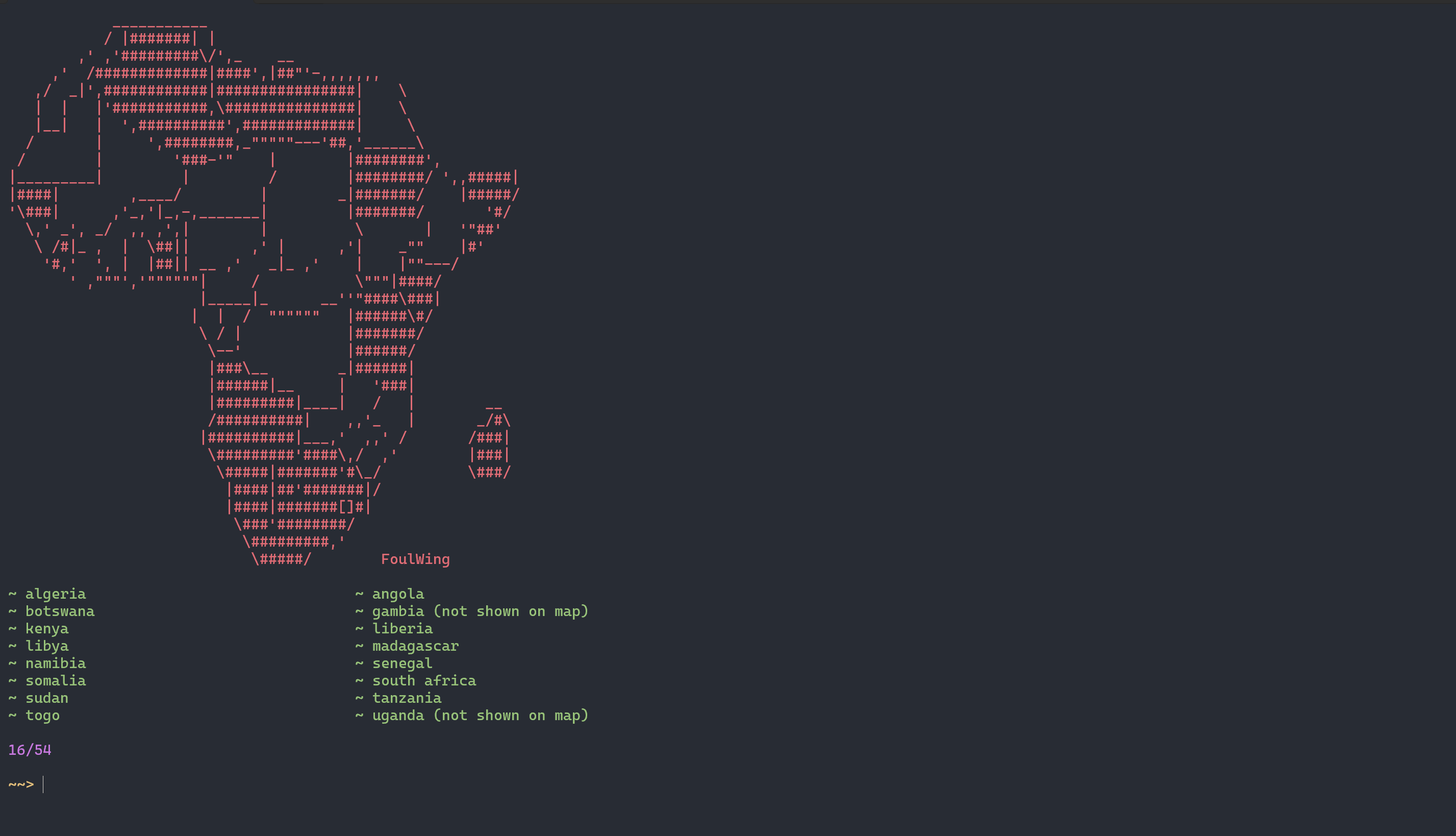
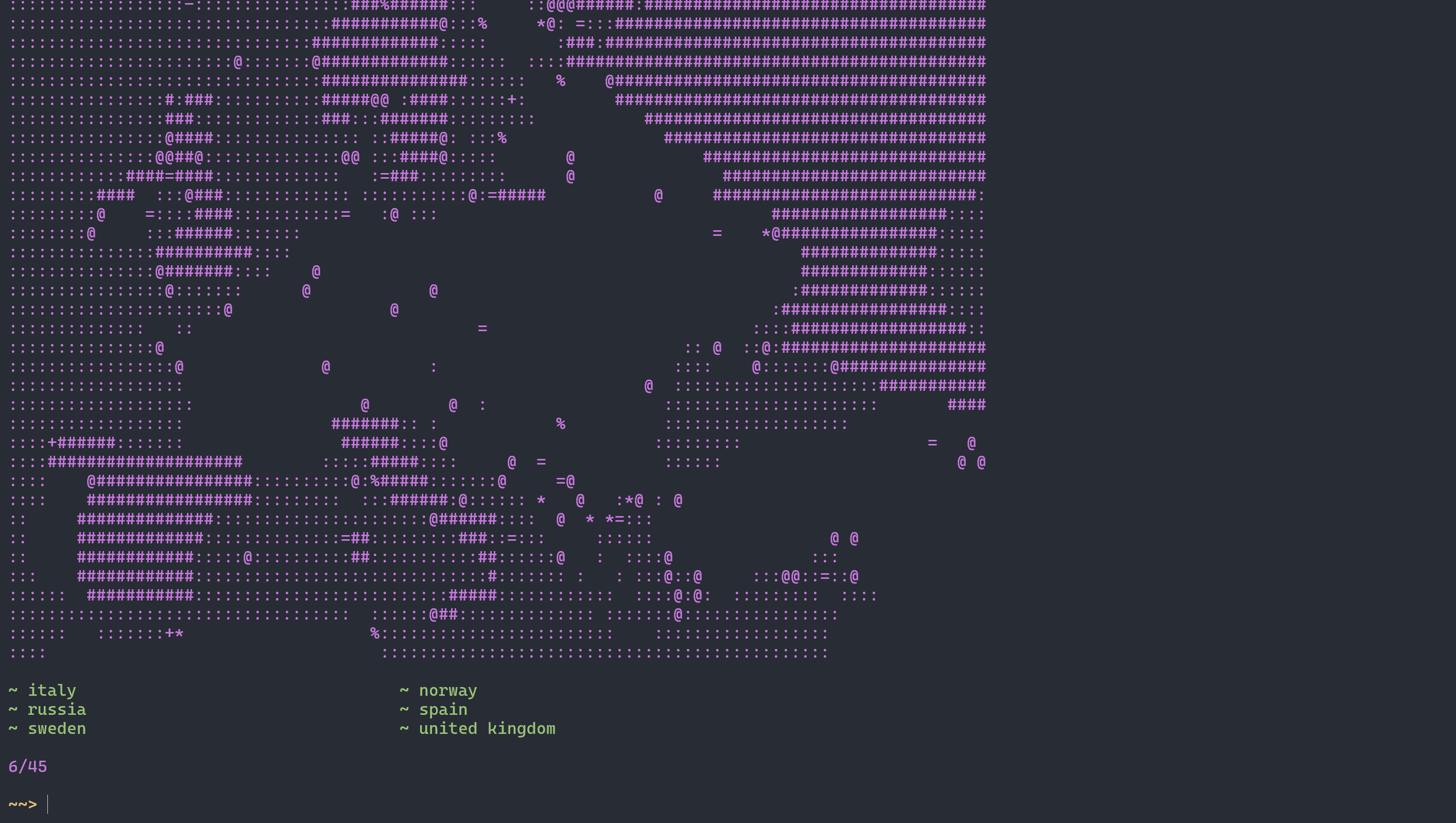
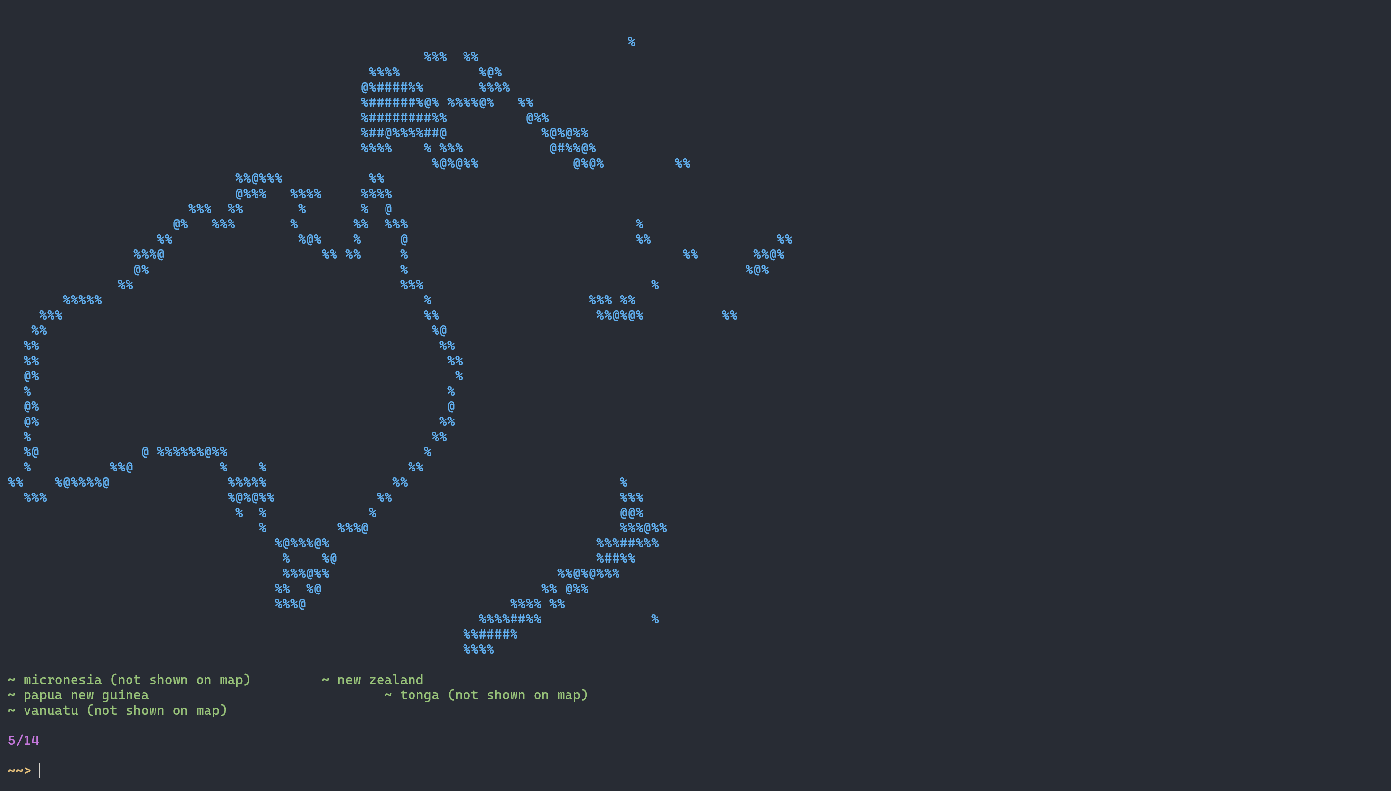
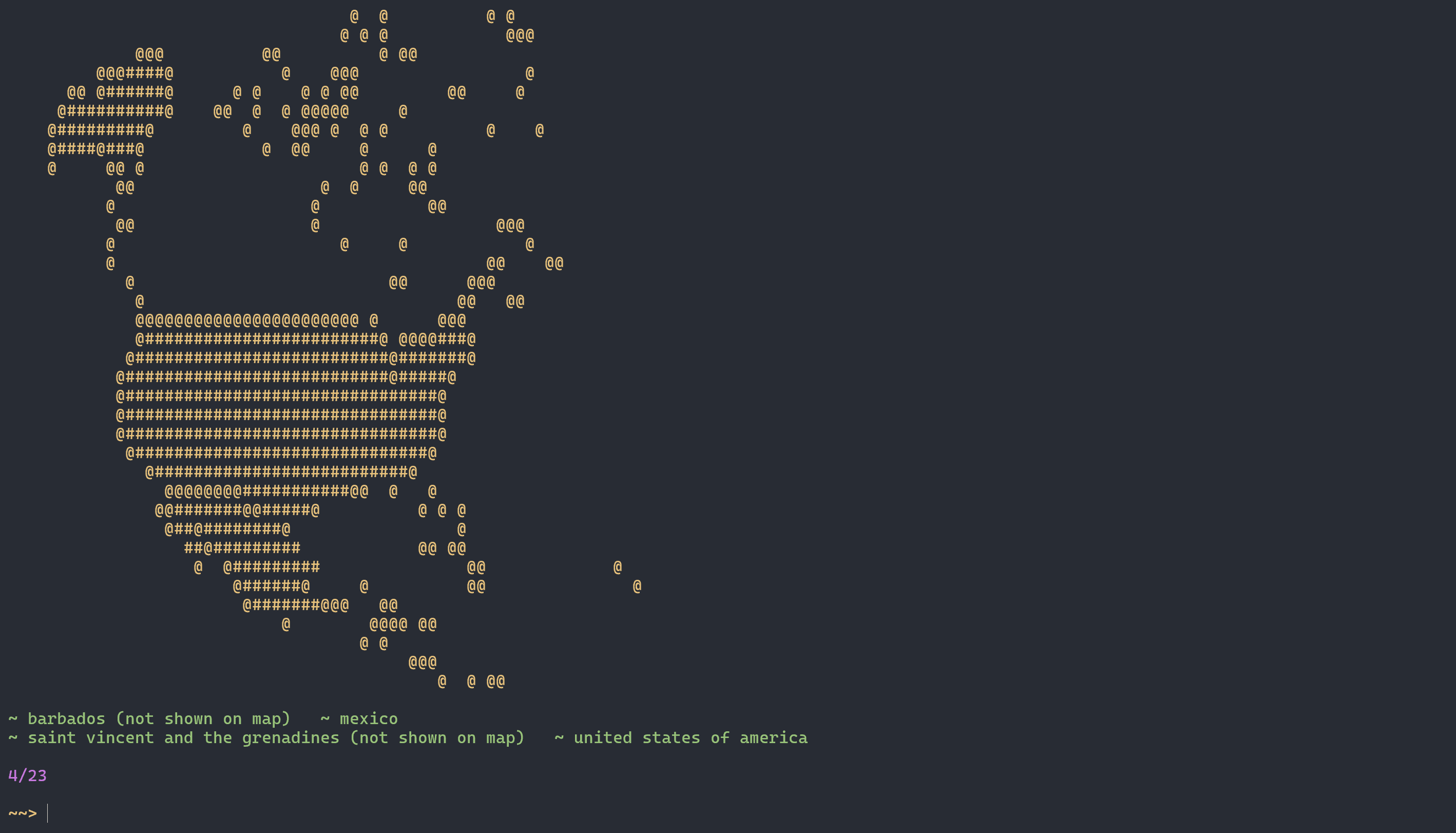
I made the maps by printing the ASCII art map, and then all the spaces that make up each country would be an array. These arrays would fill up the spaces like morocco[0], morocco[1], etc.
Then, when the country is guessed, the country (or an alternate name/abbrviation, such as uk for the united kingdom or ivory coast for cote d’ivoire) is matched with its index in the list of countries in that continent.
A second list contains all the countries that show up on the map (excluding citystates, islands, etc. that aren’t big enough to be shown on the map) and has all the countries as either 0 (false) or 1 (true). Whenever the country is guessed, its respective list item turns into 1.
The map printing function checks each list item for whether it is true or false. If it is true, then the list of spaces for that country would be replaced with a list of equal length and equal number of characters but with hashes “#” instead of spaces " ". This means that, when the county is printed, hashes are printed instead of spaces and the country fills up
I’ve got africa, europe, north america, and oceania completed. I haven’t yet made the map for asia because it’s HUGE, and south america I haven’t done yet as well. Also, central/eastern europe is VERY out of proportion and will be fixed…eventually. (i.e. long romanian panhandle)
other fun features I added include the ability to enable/disable disputed territories (Western Sahara, Kosovo, and Somaliland bc why not) and the U.N. observer states (the Vatican and Kosovo) as well as score saving to a “scores.txt” that shows the date, time, and name of quiz that you complete along with your score.
once I finished all the continents, I’ll work on making a world quiz with ALL the countries. other things like capital quizzes and flag quizzes could be added on later, but that’s likely very far into the future.
here are some more screenshots:
europe
oceania
north america
the github link if you want to look at the code or just have a go at the quiz: https://github.com/swarbler/countryguess
oh damn that’s kinda cool