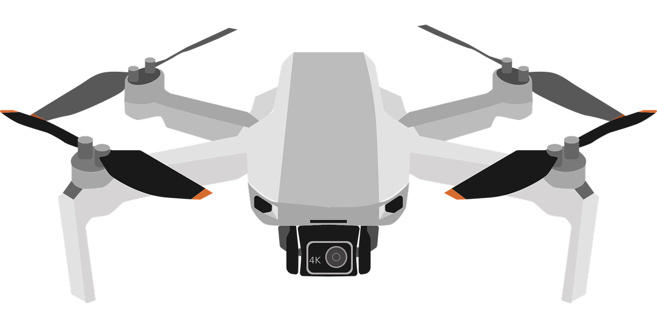
Does anyone know where to start when trying to add GIS data to an oblique drone photo? I’d love to automate it, but I’m also willing to just photoshop it in if no other option.
You must log in or register to comment.
I don’t, but what kind of GIS data were you wanting to add? Specifying might help others know if they can help more.
Just flat, clamped to ground polygons. An example would be to superimpose property lines onto an oblique drone image (only I’m doing it for pipeline rows).
deleted by creator


