
So, i am getting back into a cities project after being out of the game for a while. I’m using https://terraining.ateliernonta.com/ to generate heightmap and overlay image. it also exports OSM data (I also tried to do it manually with the same result)
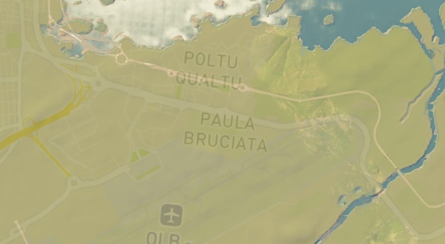
now what happens is this. i think this has always happened. it seems like the “scale” is off. the roads are “correct” but slightly shifted in all directions. they’re not all just slightly north like the picture. at one point it exactly overlaps and the rest is too far south. like the scale is wrong. like it’s too small or something. but the OSM scale is 1. did i do something wrong?
(i looked through the github but couldn’t find anything. also no similar things on the workshop comments right away)
alright i think i fixed it by putting the scale to 1.04 does anyone know why that happens?