
I am a regular Osmand user, but I don’t know much about how OSM works in detail. I noticed that in some services that use OSM, addresses appear like in this screenshot.
This second part of the address often has interesting names that I’ve never heard even for places I know well.
To me it looks like the name of a Gemarkung or something similar.
- What’s the correct term for this part of an address?
- Where is this data derived from?
- Is it possible to show a map with the borders of these Gemarkungen (or whatever it is called)?
Also glad if someone can point me to the docs where I can read about this. I browsed the wiki but couldn’t find what I was looking for.
Also interested about the correct terms for the other parts of the addresses.
Thanks!
You must log in or register to comment.
Is a Gemarkung part of the adress when you have an actual adress like the streetname? Since Schmiechen is a part of the town Schelklingen and Müllergasse being a street might be the next smaller part of the adress I could not imagine that this is the position for the Gemarkung. But I couldn’t figure out what might be between street and part of town. So I searched Spitzacker around Schelklingen and found a page stating it is a “Weiler”. A Weiler is smaller than a Village, usually just a few buildings next to each other and without an own Administration. My guess would be, that osm mentions Spitzacker, because there was said Weiler and as Schmiechen grew it just became a part of Schmiechen. So while there is no actual Spitzacker anymore osm still refers to the historical area because the building might still stand. As of what part of the adress this might be: I don’t think it is a part of the adress. I think osm takes its information from the local cadastral office and they provided all informations including historic areas. The cadastral office is also your goto adress to get docs about areas. In german its called Katasteramt and should be in Schelklingen.
I have to add that the example shown in the screenshot is a random location so I’m not familiar with that village.
But that highlighted portion is not part of the postal address. And it’s not listed under enclosing features (so no Verwaltungsgrenze, Bezirksgrenze or similar).
I agree it seems to be something historical but I see it in lots of locations and I think it’s odd to include historic names in the address query by default, isn’t it?
Not sure about osmand, but when you secondary click on a location on openstreetmap.org, you can select “query features” and see the "enclosing features. Maybe that helps?
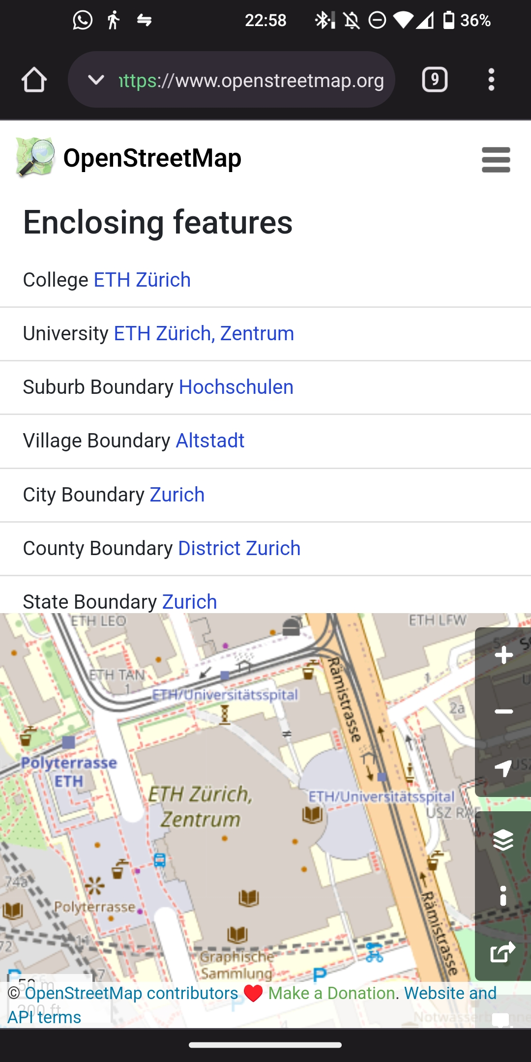
Unfortunately that second part does not show up in enclosing features.
@wmrch
Nominatim says 1 Spitzacker is a hamlet represented by node 3441898626 2. I don’t know why it would be rank a more distant smaller place above a much closer (omitted) Schelklingen village node 3 unless it’s because it’s assuming it to be a duplicate of the relation for the area with the same name (which it does catch).
Maybe the relation needs the village as admin center?


![[Germany] What is this portion in OSM adresses?](https://lemmy.world/pictrs/image/657835da-c987-431c-844f-2dc7b9dfa6a9.jpeg)