

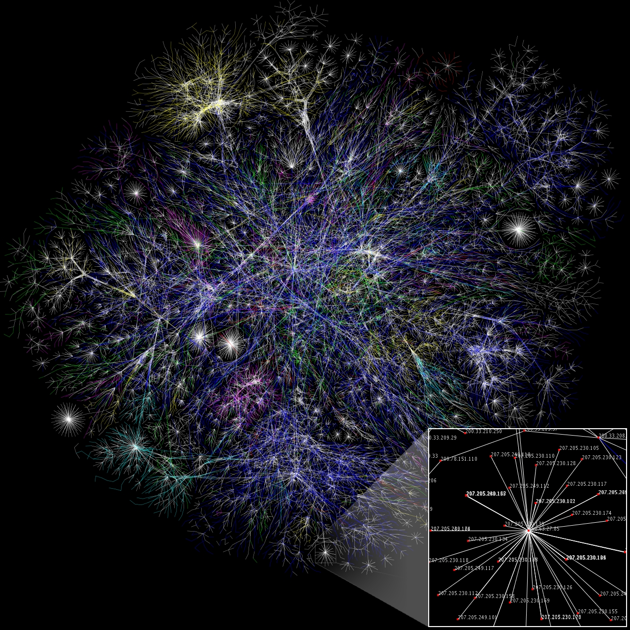
This is a representation of a small part of the internet created by following connections between networks. Colour-coding represents the type/ownership of network and distance represents signal travelling time at the point of time the representation was created. The internet cannot actually be navigated using such “maps”, but such maps can be used to convey a sense of its hardware organisation.
Partial map of the Internet based on the January 15, 2005 data found on opte.org. Each line is drawn between two nodes, representing two IP addresses. The length of the lines are indicative of the delay between those two nodes. This graph represents less than 30% of the Class C networks reachable by the data collection program in early 2005. Lines are color-coded according to their corresponding RFC 1918 allocation as follows:
- Dark blue: net, ca, us
- Green: com, org
- Red: mil, gov, edu
- Yellow: jp, cn, tw, au, de
- Magenta: uk, it, pl, fr
- Gold: br, kr, nl
- White: unknown
Author: The Opte Project