
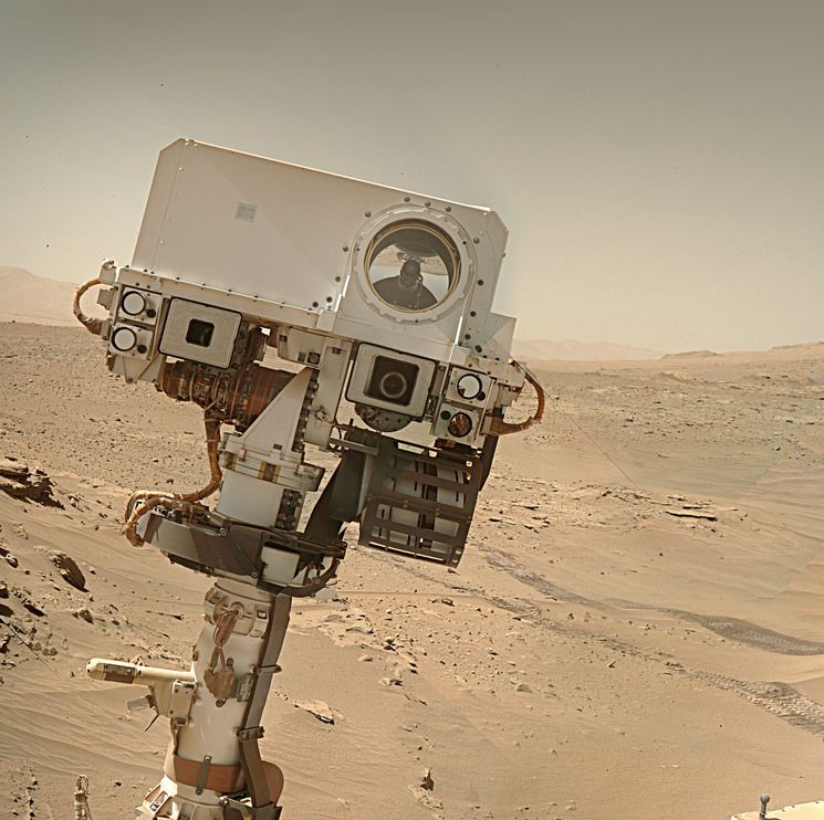

A mosaic of 10 overlapping L-MastCam images, roughly assembled in MS-ICE.
You must log in or register to comment.

A screen capture of the JPL Traverse map after the drive to the southwest on Sol 5073, the map has a scale bar of 100m in the bottom left. North is up.

The details, and a few statistics of the drive on Sol 5073. The source data is provided by JPL shortly after each drive.
 A 360 view of the rover’s location after the drive on sol 5073. The panorama is assembled from ~30 post-drive NavCam images using MS-ICE

Sol 5073 - front HazCam view, provides a wider view of the terrain in front of the rover