
- cross-posted to:
- [email protected]
- [email protected]
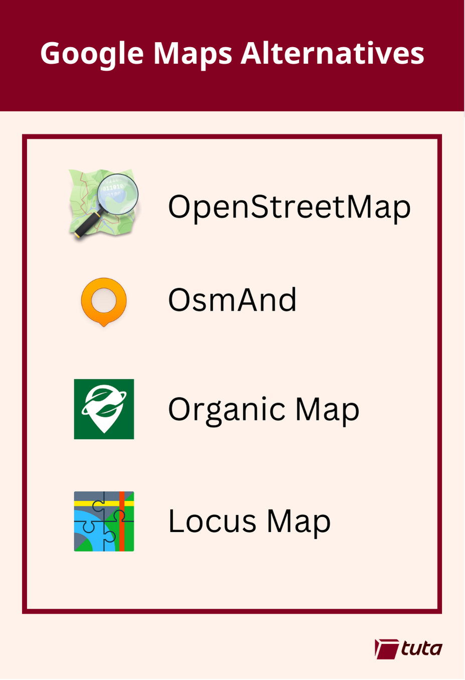
repeated media reports of Google’s disregard for the privacy of the general public led to a push for open source, community driven alternatives to Google Maps. The biggest contender, now used by Google’s direct competitors and open source projects alike is OpenStreetMap.
OsmAnd is a fantastic choice when searching for an alternative to Google Maps. It is available on both Android and iOS devices with both free and paid subscription options. Free accounts have full access to maps and navigation features, but choosing a paid subscription will allow you unlimited map downloads and increases the frequency of updates.
All subscriptions can take advantage of turn-by-turn navigation, route planning, map markers, and all the favorite features you expect from a map and navigation app in 2024. By making the jump to a paid subscription you get some extra features like topo maps, nautical depths, and even point-of-interest data imported from Wikipedia.
Organic Maps is a great choice primarily because they offer support for all features of their iOS and Android apps completely offline. This means if you have an old phone laying around, you can install the app, download the maps you need and presto! You now have an indepth digital map in the palm of your hand without needing to worry about losing or damaging your primary mobile device when exploring the outdoors.
Organic Maps tugs our heartstrings by their commitment to privacy. The app can run entirely without a network connection and comes with no ads, tracking, data collection, and best of all no registration.
Our third, and last recommendation today is Locus Maps. Locus Maps is built by outdoor enthusiasts for the same community. Hiking, biking, and geocaching are all mainstays of the Locus App, alongside standard street map navigation as well.
Locus is available in its complete version for Android, and an early version is available for iOS which is continuing to be worked on. Locus Maps offers navigation, tracking and routes, and also information on points-of-interest you might visit or stumble upon during your adventures.
Someone else in the thread recommended mapscomplete, which seems to have a bunch of topics, with pre arranged written questions when adding an item. I assume streetcomplete does something similar? And if I were to use open street map directly I assume I wouldn’t get these questions and it would instead be all mamual?
Street Complete has a map with an overlay that looks kind of like the Pokemon Go map, but it has lots of different icons where it needs more data. Tapping an icon will give you a question based on the icon type, and will be something like ‘what is the road surface here’, or what is the number of this building '.
It’s pretty easy to use, and if you don’t know the answer, or are not confident about answering it, you don’t have to.
Like you say, with OpenStreetMap itself, you don’t get questions and you add things directly to the map manually. It can sound complicated, but you can do anything from adding a single node (a dot) and marking it as the tree in the town square, to drawing a box and labeling it as a building, all the way up to adding bus routes and power lines, like one person on the Discord is doing around Wales at the moment.
As long as the thing actually exists on the ground, you can add it to OSM, and you can do as much or as little as you like. Any detail is better than no detail 👍
I’m definitely on board with participating. It’s a bit bare around where I live, so I’d be nice to contribute to future users. I’ve already added a couple of bins and public toilets I know of!
I’m just wondering about potentially temporal data. I know everything will change eventually, but I’d feel responsible to keep info such as timetable data up to date. I wouldn’t want someone missing their bus because I gave the times as they were couple of months ago. Do you know how this is dealt with in the community?
I’m not sure about things like changing timetables. I know that a lot of places have published timetables that can be added to OSM, but I don’t know if they can be automatically updated or if they would have to be done manually.