google also allows offline caching, but also needs to be set up ahead of time. AFAIK once you set a region to download, it will update that cache regularly.
I would expect this is a feature that most map apps would offer
Following the gps map- is great when you’re trying to get somewhere, but if the goal is walking, I usually want to leave the tech in my pocket. Compass is a nice compromise to help navigate while still taking a break from behind slave to the machine
Quick shoutout for Trail Sense for Android. Designed to function offline, lots of cool navigation/basic tools I haven’t used outside of the GPS and compass, reasonable permissions, etc. One of those “You don’t know how useful it is until you don’t have connectivity” things.
Excellent! I tried a couple trail apps for iPhone without any luck - they didn’t have local trails or cost too much for how occasionally I’d use it. Lately I have been doing short local hikes on well marked trails, so it’s not really a need
Worst case scenario, download a compass app for your phone, but watch out for scams that will require heavy network traffic
iPhone/appleWatch may have one already, but I don’t know about android
iOS has a built in compass app.
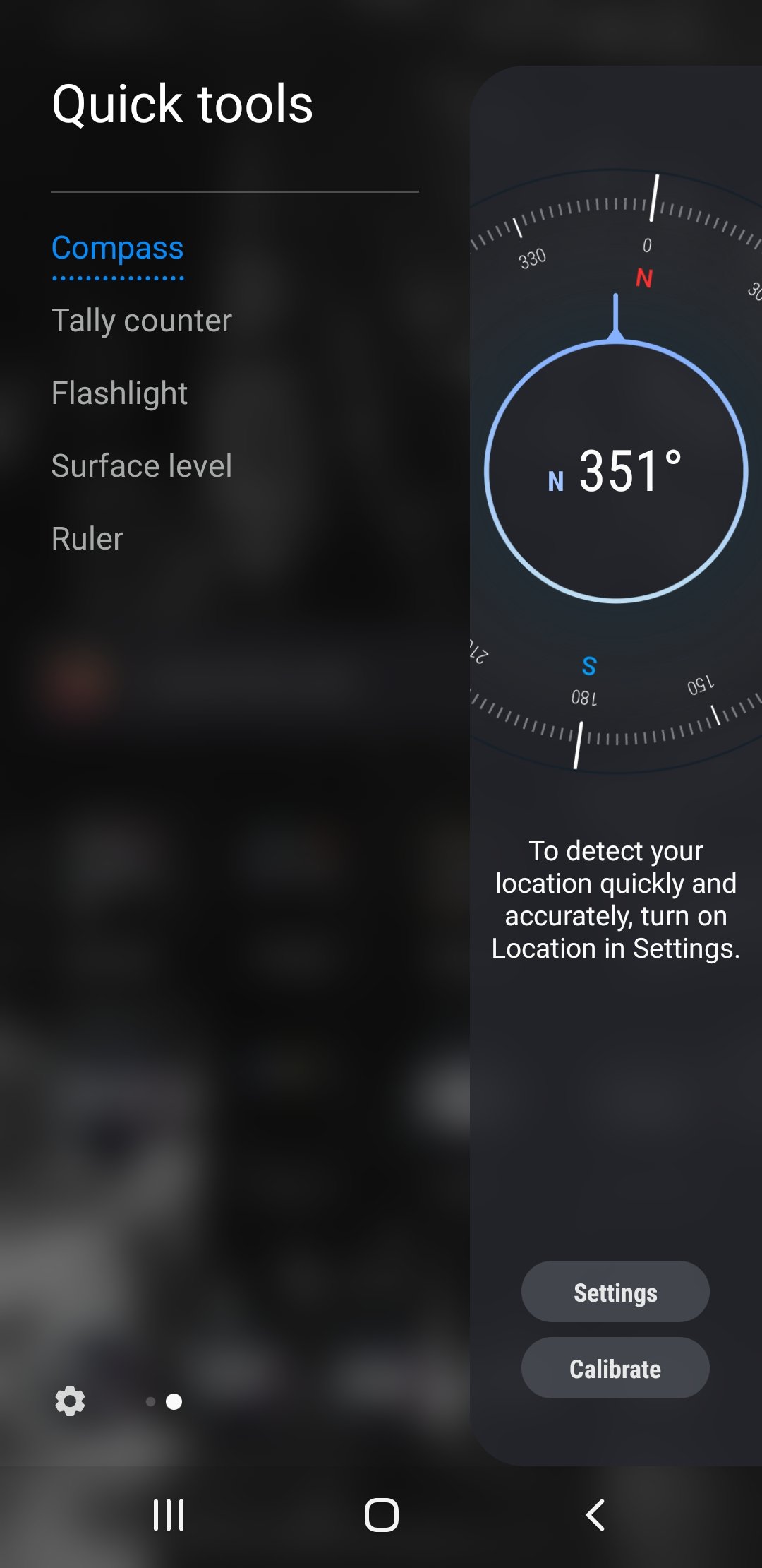
So does Android. This phone is old and it’s on the edge menu (Samsung).
I feel like while your phone has battery, there are easier ways to navigate than a compass.
No data, no map.
GPS can give your coordinates, but that’s pointless unless you walk a bit and translate the direction.
Compass uses most of its power for the screen.
Do you have a minute to talk about Openstreetmap? You can download the map before you head out, then navigate without data connection.
This requires foresight. Most people don’t plan on getting lost.
I just use the app for navigation so I always download the map for the area I travel to before I go.
I used to do the same when i was too poor to afford data on my phone or when i go through areas with poor service.
google also allows offline caching, but also needs to be set up ahead of time. AFAIK once you set a region to download, it will update that cache regularly.
I would expect this is a feature that most map apps would offer
Following the gps map- is great when you’re trying to get somewhere, but if the goal is walking, I usually want to leave the tech in my pocket. Compass is a nice compromise to help navigate while still taking a break from behind slave to the machine
Quick shoutout for Trail Sense for Android. Designed to function offline, lots of cool navigation/basic tools I haven’t used outside of the GPS and compass, reasonable permissions, etc. One of those “You don’t know how useful it is until you don’t have connectivity” things.
Excellent! I tried a couple trail apps for iPhone without any luck - they didn’t have local trails or cost too much for how occasionally I’d use it. Lately I have been doing short local hikes on well marked trails, so it’s not really a need